WEATHER ALERT
ENVIRONMENT CANADA
*************************
Severe thunderstorm warning in effect for:
- St. Catharines - Grimsby - Northern Niagara Region
- Niagara Falls - Welland - Southern Niagara Region
Current details:
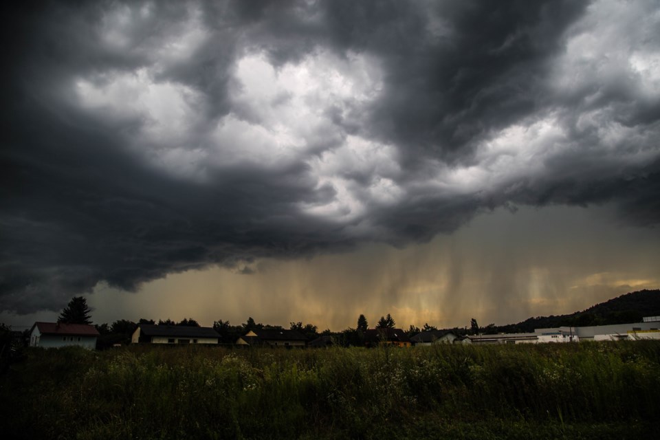
At 5:35 a.m. EDT, Environment Canada meteorologists are tracking a severe thunderstorm capable of producing heavy rain.
This line of severe thunderstorms is located from Niagara-on-the-Lake to Port Colborne, moving east at 40 km/h.
Hazard:
Locally heavy rainfall with total amounts possibly exceeding 50 mm.
Locations impacted include:
St. Catharines, Niagara Falls, Fort Erie, Lincoln, Port Colborne and Welland.
Heavy downpours can cause flash floods and water pooling on roads.
Take cover immediately, if threatening weather approaches. Lightning kills and injures Canadians every year. Remember, when thunder roars, go indoors!
Emergency Management Ontario recommends that you take cover immediately if threatening weather approaches.
Severe thunderstorm warnings are issued when imminent or occurring thunderstorms are likely to produce or are producing one or more of the following: large hail, damaging winds, torrential rainfall.
Please continue to monitor alerts and forecasts issued by Environment Canada.
To report severe weather in Ontario, send an email to [email protected] or tweet reports using #ONStorm.
For more information: https://www.ontario.ca/page/be-prepared-emergency.
*************************


